Settlement
spreads from Nambour to Dulong
Some say that 'Dulong' is an aboriginal word meaning 'red mud',
others claim that it was a nickname already attached to the first settler in
the district before he arrived. What we can be sure of is that up until mid-1894
the name was generally spelled 'Doolong' by the early pioneers, and was
applied to the area of rich, fertile, volcanic soil at the top of a steep range of hills west of Nambour and below the Blackall Range.
The area was covered with thick rain forest containing large quantities of red cedar, beech and pine, all heavily tangled with masses
of vine scrub.
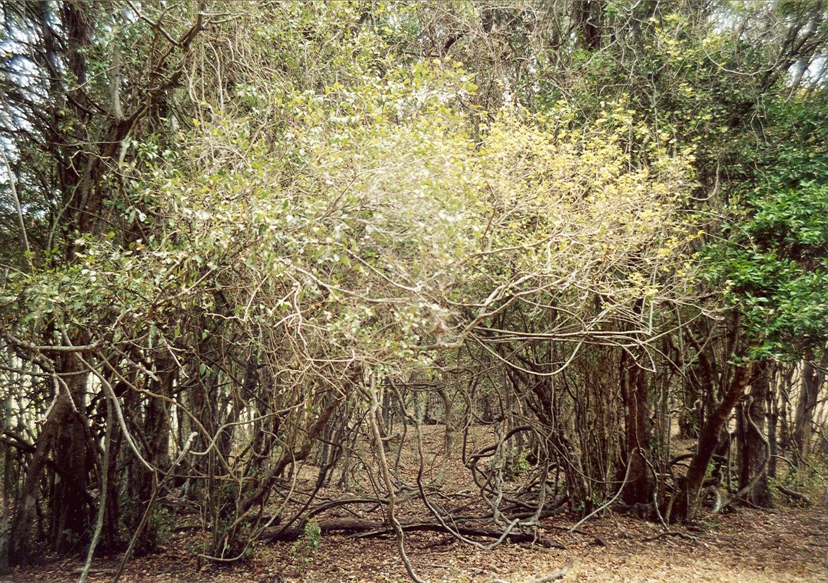
A remnant of original vine scrub still standing today on Mr Noel Gaylard's property
Before 1870 parts of the Doolong area had been surveyed into blocks. The first evidence of a track being officially surveyed from Petrie's Creek west is a map dated 1870, which shows the alignment terminating near the site of today's Kureelpa Hall. This track followed the crest of a ridge from Petrie's Creek, and reached the top of the Highworth Range at the site of today's Dulong Lookout, after a steep climb with a gradient of 1 in 4. By 1883 a line had been blazed up the Blackall Range through the site of Mapleton, passing through what is now the Services Memorial Park.
Logging crews moved into the area in the 1880s, and cleared a network of tracks through the scrub. The teamsters snigged the logs along these to the loading ramps. There they loaded the logs onto bullock waggons, and hauled them down the ridges. The waggons made their way down a track to the Rafting Grounds on the Maroochy River at Dunethin Lake, or to the limit of navigation of Eudlo Creek, where the logs were tipped into the water, tied together to form rafts, and floated down the river to Cottontree. There they were taken ashore and hauled over Pott's Point to William Pettigrew's depot at Mooloolah Heads (Mooloolaba), loaded onto the Gneering, and shipped to Pettigrew's sawmill in Brisbane.
The first hut in the Doolong area was built by bullock drivers with slabs and shingles which they split out of a nearby tree. It had a wide fireplace and an earthen floor. The only table was made of slabs resting on round poles driven into the ground. When the area was thrown open for selection, prospective settlers found shelter there while they walked the survey lines and decided upon the block of their choice. There was always room for any man who wished to spend the night on the floor in front of the fire.
In those days, there were two principal ways in which selectors could claim land under the Crown Lands Alienation Act of 1876. Firstly, there were 'Homesteads' for areas of up to 160 acres. Blocks of this size were called 'quarter-blocks', as their area was one-quarter of a square mile, each side being half a mile long (800 metres). The price of a Homestead was 2s. 6d. per acre, spread over five annual instalments, called Rents, of sixpence per acre. Improvements to the value of 10 shillings per acre and personal, continuous residence by the selector for five years were required before a Certificate of Fulfilment of Conditions was granted. The selector would then pay the balance of Rent (if any) and a Deed Fee, and then he would be given a Deed of Grant.
Secondly, there were 'Conditional Purchases' for areas up to 5120 acres (eight square miles). Rents of 15 shillings, 10 shillings or 5 shillings per acre were spread over ten annual instalments. Improvements of 10 shillings per acre were required and the selector or his bailiff had to reside continuously for two years on the land. After a Certificate of Fulfilment of Conditions was granted, the selector could pay the balance of Rent and a Deed Fee and thereby receive a Deed of Grant, or he could transfer his Rights and Title to the lease.
In our area, the blocks were mostly of 160 acres. They were advertised and made available to the public for selection. One made one's choice and sent an application to the Lands Administration Commission. If more than one application were received for a particular block, then the successful applicant would be chosen by ballot. Generally there were few ballots held, firstly because there were not many applications received, and secondly because it was the accepted understanding that the first person to claim a selection had priority.
Supplies came from Brisbane by boat, and the paddle steamer Tadorna Radjah took them to the Cedar Tree along Petrie's Creek. Then Histead's punt took them to Davis' Pocket, two miles from Nambour, and pack-horses took them the rest of the way through the scrub and forests to Doolong. The most basic supplies were of food, the most common groceries being flour, sugar, tea, salt and salted meat. The staple diet in those times was corned beef and damper, with a hot cup of billy tea to wash it down.
John Murtagh, an Irishman from County Sligo, was always called Jack, or more affectionately, ‘Doolong’ - a name he acquired before coming to Australia. He arrived in Queensland on the sailing ship Southern Belle in March 1874, accompanied by his brother Martin. He was 25 years old at the time. After some years working in western Queensland he returned to England. There he married Emma and with two young daughters returned to Queensland on the Quetta in 1885. He worked on the telegraph line to Gympie and selected 160 acres of unsurveyed land in the Nambour hinterland in 1886. He occupied this in 1887, becoming the first settler in the district which he named Doolong after himself. He later occupied positions of importance on the Maroochy Divisional Board, Chairman of the School Committee, Electoral Returns Officer and Census Officer. It is said that he was married three times and fathered ten daughters.
Frank Murtagh, a younger brother of John Murtagh, arrived in Queensland with his wife Mary and baby son Larry on the Duke of Buckingham in February 1883. Three brothers of Frank were also on that ship, two of whom, Jim and Denis, also settled in the Nambour district. In 1884 Frank took up a 320 acre selection below Kureelpa and named it ‘Highworth’ after Mary’s home town, which is south of Birmingham. Due to his inability to eke out a subsistence on the steep wooded land, Frank sought work in Brisbane and as a consequence forfeited his selection. He was able to re-select 124 acres in 1892, and this is the land traversed by the tramway. Frank’s sons, Larry, John, Denis and Frank Jr. worked bullock teams hauling timber in the Dulong, Mapleton and Kenilworth areas. John was killed in action in France in World War I. Frank was a staunch supporter for the tramway construction. He later held positions of importance as a Cane Inspector and then as founding Director on the board of the Moreton Central Sugar Mill.
James Stark, a timber getter, selected a block close to the bottom of what became known as the Highworth Range, now generally known as the Dulong Range.
A survey carried out in late 1888 by Mr G. C. Reid, Licensed Surveyor, extended the road from Nambour from its western end at Kureelpa to the South Maroochy River and about a quarter-mile beyond. It ended at a point near the bottom of the Blackall Range escarpment. He also marked out a new road running south-south-east from this point towards Doolong. This new road was called the Doolong Road, then Dulong Road, and is now Sherwell Road. Blocks were surveyed along the western side of this road, but the area was marked 'Blackall Range Timber Reserve'. The area north of here were described on his map as 'vacant, heavily timbered blackbutt ranges, extremely rugged, dense undergrowth'. It is now the Mapleton State Forest.
Reid also surveyed a second road heading south-west from the top of the steep pinches at the site of today's Dulong Lookout (later to be known as Dalzell's Pinches), and then following the ridge line in a west-north-westerly direction before descending towards the valley of the South Maroochy River. This road connected with the road heading west from Kureelpa just east of where it crossed the river, and was an alternative route west from the top of the Highworth Range. This road's section along the ridge is now known as Thrushs Road, and the section linking up to the Mapleton Road near the river is called DeVere Road. The two sections are not now connected, there being a private farm still owned by the DeVere family between the two dead-ends.
Although these roads were properly surveyed, it was a few years before they were cleared enough to allow the passage of pack-horses, and a few years more before waggons and sulkies could get through. Bullock teams and horse teams made their own tracks through the scrub to get the timber out, and by the turn of the 20th century the use of wheeled vehicles had turned the tracks into primitive roads.