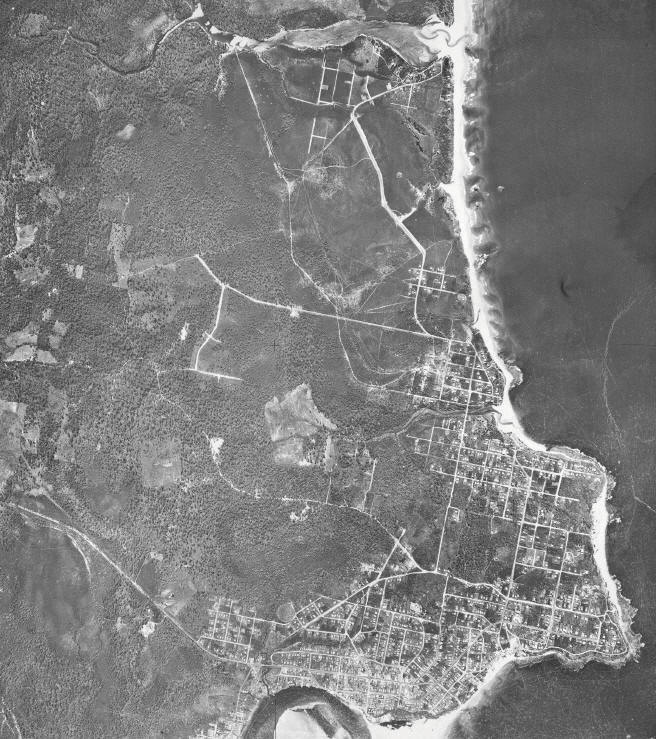
Aerial Photograph of the Caloundra - Currimundi area
taken from an altitude of 12 500 feet, 5th May 1958
Caloundra from 12 500 feet up, in 1958. Battery Hill, the site of the military camp, is near the centre of the image. Though the camp was long gone, traces of it still remained at that time, such as tracks, concrete foundations, and even a cement cricket pitch. Caloundra Head is at lower right, and Currimundi Lake at top.
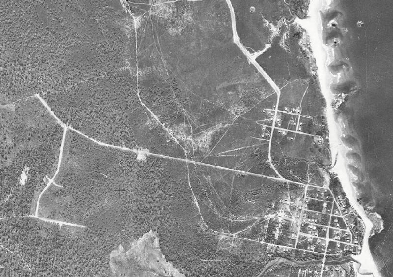
An enlargement of the image above. Battery Hill is near centre, Tooway Lake and Creek are at lower right, and Coondibah (Cockatoo) Creek is at top right.
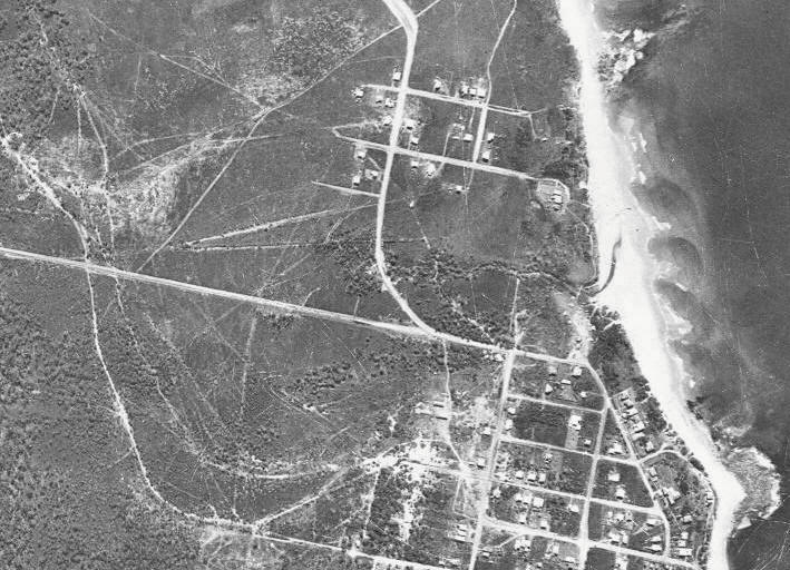
Another step in enlargement. Battery Hill is near the upper centre left margin, and Dicky Beach is at the right margin. Bunbubah Creek meets the sea halfway along Dicky Beach. The outline of the remains of the S.S. Dicky (driven ashore during a cyclone in 1893) is visible near the mouth of the creek.
Image Copyright Commonwealth of Australia (Geoscience Australia)